
Space data · Tanzania
Satellite data, turned into decisions on the ground.
Interstellar Solutions builds Earth-observation and geospatial systems for institutions in Tanzania — early-warning bulletins, climate and agricultural intelligence, and the pipelines that keep them running. It is the first step of a longer mission.
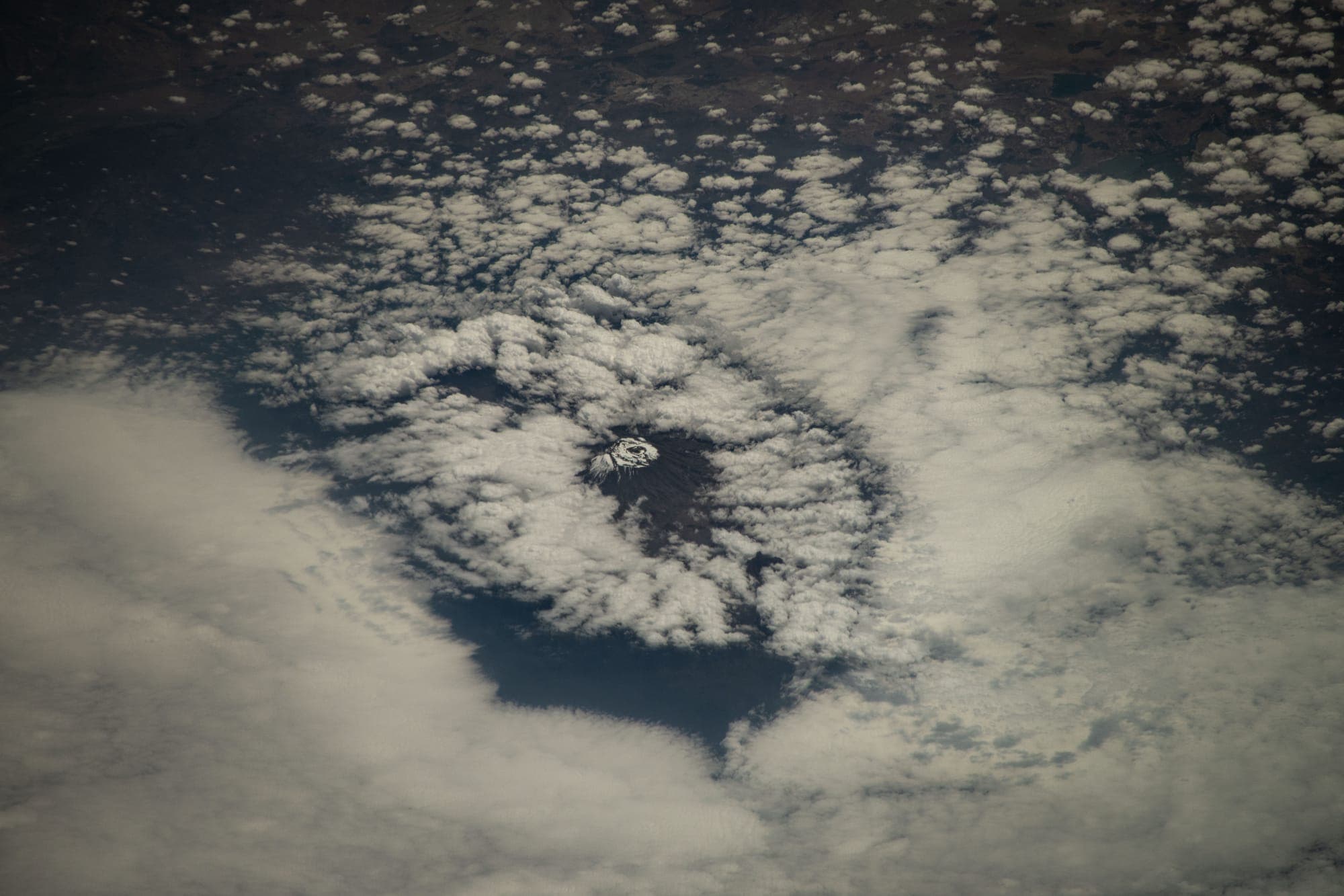
Mount Kilimanjaro from the International Space Station, July 2024 · NASA
What we do
Three things, done properly
Satellite data is abundant and free. The scarce part is the engineering that turns it into a map, a bulletin, or a number on the right desk.
- 01Details
Earth-observation analytics
Free public satellite imagery — Sentinel, Landsat, Digital Earth Africa — processed into maps and indicators your institution can act on.
- 02Details
Early-warning & bulletin systems
Multi-agency platforms that turn forecasts and observations into impact-based bulletins — maps, documents and delivery, generated on schedule.
- 03Details
Geospatial data platforms
The pipelines, databases and dashboards underneath — so the data keeps flowing after the project ends.
Flagship work
A multi-agency early-warning bulletin system for Tanzania
A platform that lets several national agencies contribute their inputs and produces impact-based forecast bulletins — with the maps drawn, the documents formatted, and every change recorded.
Seven agencies
one role-based workspace
Region & district
maps drawn automatically
EN / SW
DOCX and PDF bulletins
Who it is for
Institutions that need to decide, not just to know
Disaster management & meteorology
Impact-based forecasting, multi-hazard bulletins, situational maps.
Agriculture & food security
Crop condition, drought indicators, seasonal monitoring by district.
Water & environment
Surface-water extent, catchment change, flood mapping, land-use change.
Insurers & lenders
Index-insurance triggers and portfolio exposure from satellite indicators.
Donors & development programmes
Monitoring and evidence for programmes that need measurable outcomes.
Mining & infrastructure
Site change detection and environmental monitoring over time.
The door
Programmes we build toward
Tanzania has a national space programme now, and international programmes built so that countries like it can take part. We are not partners with any of them yet, and we say so. We are building what a satellite needs once its data reaches the ground.
TanSat-1 & the national space strategy
Ministry of Communication and IT · DIT, UDSM, UDOM, SUZA, MUST and partners
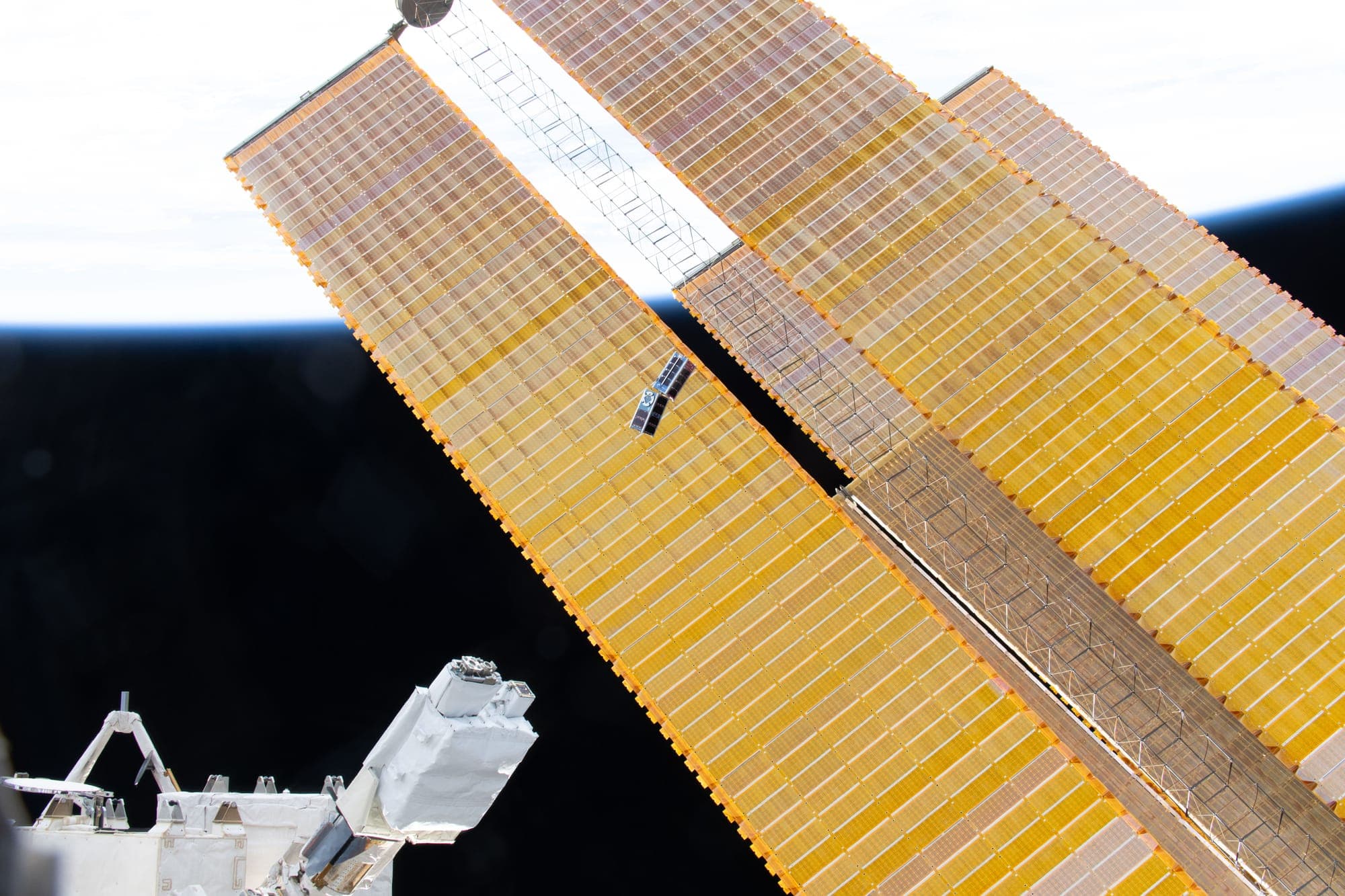
Tanzania's first CubeSat, in development by a consortium of universities under the 2025–2030 strategic plan, for deployment via KiboCUBE. Mission: environmental sensors, reserve boundary beacons, imaging, IoT relay.
We are not part of the consortium. We are proposing to build its ground data segment and first data products with the University of Dar es Salaam.
Access to Space for All · KiboCUBE
UNOOSA & JAXA
Free CubeSat deployment from the ISS for institutions in developing countries. Kenya's first satellite flew through it; Tanzania's is on the way.
The programme carrying TanSat-1. Our work is designed to fit what its missions need on the ground.
GMES & Africa
African Union & European Union
Earth-observation services for African institutions, funded through consortia.
The service categories we build in are the ones it funds.
Digital Earth Africa
Open data platform
Analysis-ready Sentinel and Landsat data for the whole continent, free.
A core data source in our pipelines today.
Copernicus
European Union
The Sentinel satellite family and open data policy that makes most of this possible.
Primary imagery source for our analytics.

The mission
Tanzania is taking its first steps into space. The value of those steps will be decided on the ground.
The path is a sequence: earn trust and revenue with satellite data that helps Tanzanian institutions decide better; build the ground data segments, archives and products that a national programme needs and that its students can run; then help carry the missions that follow the first one further. The name is not a metaphor. It is the direction of travel.
The whole sequence